


- Start Date
- 2024/08/06
- End Date
- 2024/08/09
- Event Details
-
Roadshow
Dates: 6 August 2024, 10:00 to 15:35 in Indonesia Time
Venue: Hotel Borobudur JakartaBootcamp
Dates: 7 to 9 August 2024Organizer: TOPCON POSITIONING ASIA CO., LTD., PT. SYNNEX METRODATA INDONESIA
- URL
- /content/topcon-pa/jp/en/events/2024/topcon-autodesk_roadshow-bootcamp_Indonesia.html
- External URL
- Target
- _self
Landforming
Laser Land Leveling and GNSS Landforming
Agriculture Water Management, Surface Drainage and Grading
Increase yield through design and uniformity

Landforming technology manipulates soil to better compensate for environmental factors and complement crop requirements. Through planning (surveying), design, and precision execution, farmers can optimize water management, improve drainage, and even increase arable land.
Solutions not only eliminate catastrophic issues such as flooding and excessive runoff, they promote even-resource distribution. Balanced inputs lead to uniform emergence and development, maximizing available water and reducing applications later down the crop cycle. Symmetry enables higher yields and reduced inputs.
Suited for nearly all crops and many niche applications

Commodity Crops

Specialty Crops

Niche
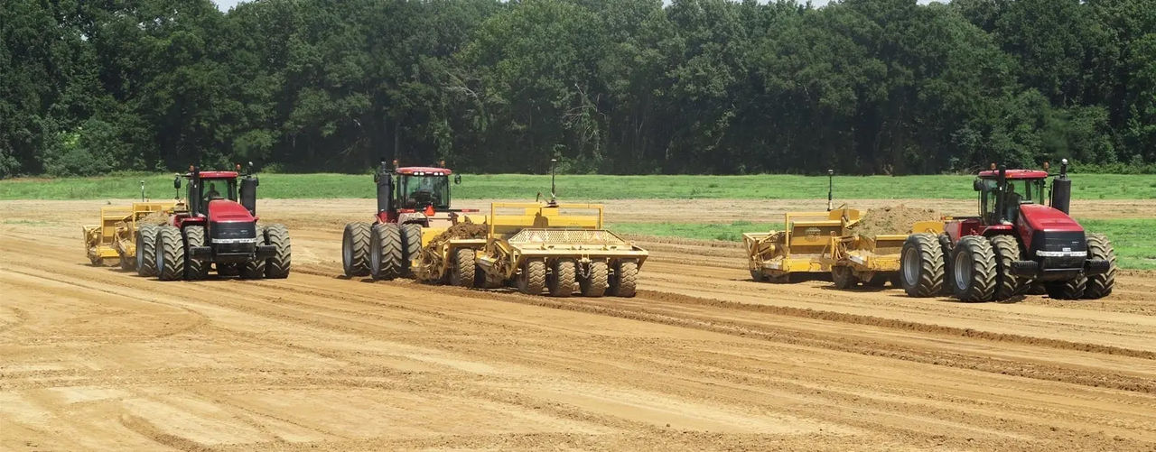
Laser Land Leveling

From basic flat to single-slope, Topcon Laser Land Leveling provides proven automatic single scraper implement control, leveling to a defined elevation. The solution is ideal for smaller, more economical operations and basic applications including flat-plane crops and building foundations.
GNSS Landforming

From basic flat and single-slope surfaces to advanced multi- and variable slope designs, Topcon GNSS Landforming offers fully customizable water management control. Comprising three key phases: survey, design,
and execution, the solution can suit virtually any crop operation plus many niche applications, including ponds, building foundations and roads.

Why Topcon Landforming?
It’s no mystery that water is essential to every farming operation. Research indicates field drainage has the greatest impact on yield relative to any other factor. It boils down to distribution uniformity, because crops require adequate and equal resources to thrive.
With global uncertainty in allocation, not to mention constant environmental and even political factors, farmers need proven solutions that maximize inputs and land sustainably. Landforming is the practice of manipulating soil to optimize water management and drainage. Modern solutions utilizing laser and GNSS (aka GPS) conform land to best suit operational demands. Technology is the foundation for an effective precision management strategy, from basic flat and single to advanced multi and variable-slope surfaces..
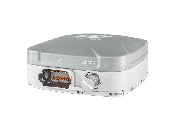
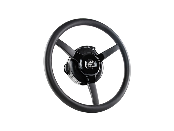
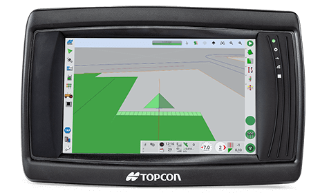
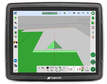
Guidance and Autosteering

Guidance is the key to accuracy and the heart of precision farming. We offer modular solutions to suit virtually any machine and operation. Each farming operation may have differing accuracy requirements, which is why we offer a full range of correction services via Topnet Live network corrections or localized base stations. Whatever the application, choose flexible options to form the right solution for optimal reception, accuracy,
and repeatability.
Fleet Management

Monitor and manage machines through TAP Fleet and CL-55 cloud connectivity device telematics. Beyond a powerful landforming solution to optimize water management, We can help track the benefits too.

You can find more information in our eBook for Landforming.
Brochure
Related Item
Related Information
News
Events
- Start Date
- 2024/07/02
- End Date
- 2024/07/05
- Event Details
-
Roadshow
Dates: 2 July 2024, 10:00 to 16:45 in Malaysia Time
Venue: Sofitel Kuala Lumpur DamansaraBootcamp
Dates: 3 to 5 July 2024Organizer: Topcon Positioning Asia (Malaysia) Sdn. Bhd., 3Dtech Solutions Sdn. Bhd.
- URL
- /content/topcon-pa/jp/en/events/2024/topcon-autodesk_roadshow-bootcamp_malaysia.html
- External URL
- Target
- _self
- Start Date
- 2022/10/26
- End Date
- 2022/11/29
- Event Details
-
Venue : Webinars
Hosted by : Topcon / Autodesk
- URL
- /content/topcon-pa/jp/en/events/2022/10309.html
- External URL
- Target
- _self