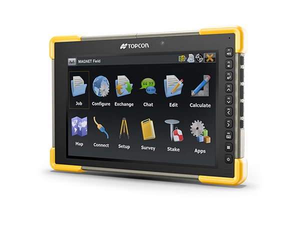
MAGNET Field is a powerful and intuitive field application software that enables users to collect survey mapping data and perform construction and road layout using total stations, levels, and GPS.
TOPCON
Surveying
Civil Engineering
Building Construction
Software
TOPCON
Civil Engineering
Software
Pocket3D "Construction Grade Management Software"
With Pocket3D, locate and verify anything on the site. Easily!
TOPCON
Civil Engineering
Software
TOPCON
Surveying
Civil Engineering
Building Construction
Software
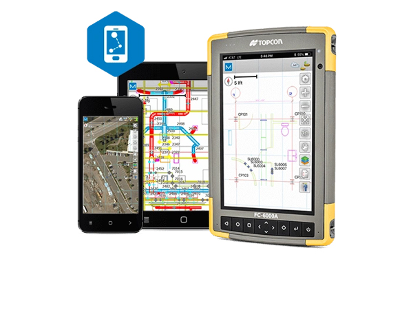
MAGNET Construct "App for Positioning Layout and as-Built Applications"
Control is in your hands
iOS and Android app for GNSS receivers and robotic total stations
TOPCON
Surveying
Civil Engineering
Building Construction
Software
TOPCON
Civil Engineering
Surveying
Building Construction
Software
3D Scanners
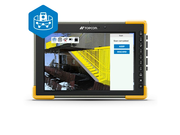
Collage Site "Field scanning control and processing software"
Reduce back-office workflows
TOPCON
Civil Engineering
Surveying
Building Construction
Software
3D Scanners
Cloud-connected Service
TOPCON
Civil Engineering
Software
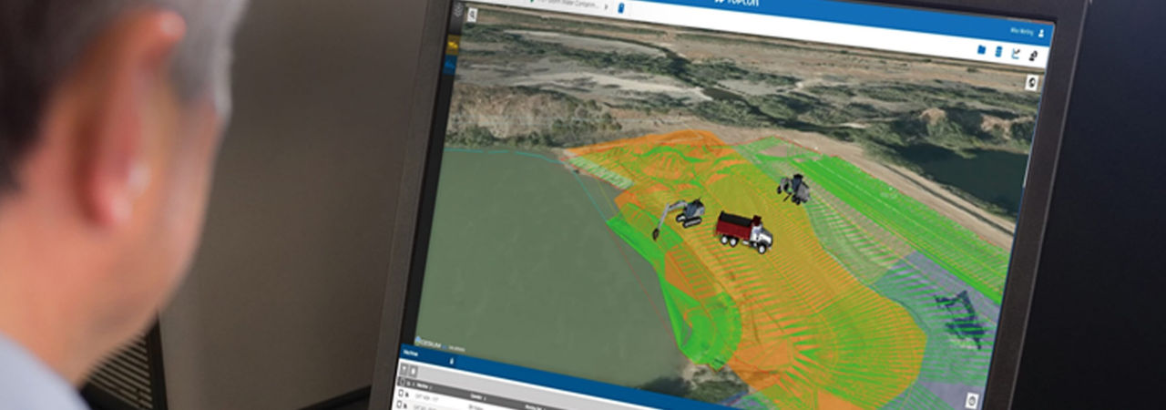
Sitelink3D "Remotely manage your job site"
Stay aware, even when you aren't there
TOPCON
Civil Engineering
Software
Site and Road Software
TOPCON
Surveying
Civil Engineering
Building Construction
Software
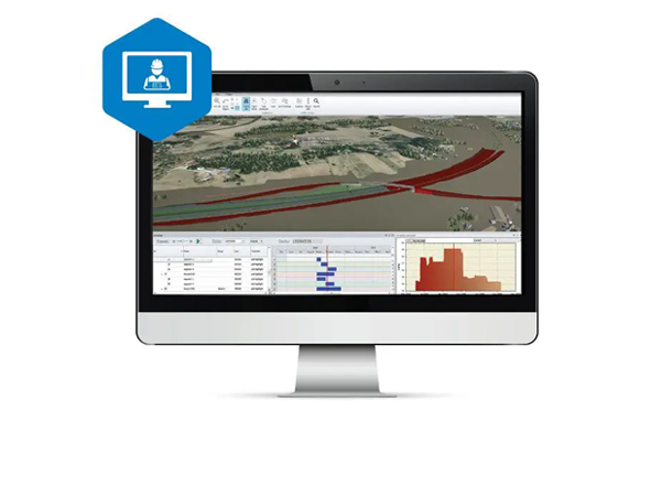
TOPCON Project
Planning for reality
TOPCON
Surveying
Civil Engineering
Building Construction
Software
TOPCON
Surveying
Civil Engineering
Building Construction
Software
MAGNET Office "MAGNET Office for survey and construction"
Setup your projects for success
TOPCON
Surveying
Civil Engineering
Building Construction
Software
Survey Software
TOPCON
Surveying
Civil Engineering
Building Construction
Software
MAGNET Office "MAGNET Office for survey and construction"
Setup your projects for success
TOPCON
Surveying
Civil Engineering
Building Construction
Software
Scanning Software
TOPCON
Civil Engineering
Surveying
Building Construction
Software
3D Scanners
Collage Site "Field scanning control and processing software"
Reduce back-office workflows
TOPCON
Civil Engineering
Surveying
Building Construction
Software
3D Scanners
TOPCON
Surveying
Civil Engineering
Building Construction
Software
3D Scanners
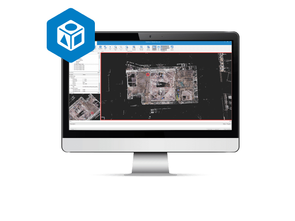
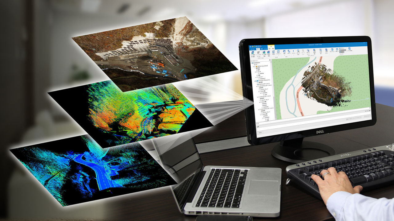
Collage Office "3D Point Cloud Processing Software"
Point cloud processing made easy
TOPCON
Surveying
Civil Engineering
Building Construction
Software
3D Scanners
ClearEdge3D
Building Construction
Software
EdgeWise "Faster, More Accurate 3D Modeling"
Automatically Extract BIM Model Elements from Point Cloud Date
ClearEdge3D
Building Construction
Software
ClearEdge3D
Building Construction
Software
Verity "Construction Verification Software"
Automatically Compare Point Clouds vs BIM Model and Visualize Installation Accuracy
ClearEdge3D
Building Construction
Software
ClearEdge3D
Building Construction
Software
Rithm "Floor Flatness and Levelness Analysis Software"
Efficiently Analyze Floor Flatness Levelness Using Point Cloud Date