- Start Date
- 2024/08/06
- End Date
- 2024/08/09
- Event Details
-
Roadshow
Dates: 6 August 2024, 10:00 to 15:35 in Indonesia Time
Venue: Hotel Borobudur JakartaBootcamp
Dates: 7 to 9 August 2024Organizer: TOPCON POSITIONING ASIA CO., LTD., PT. SYNNEX METRODATA INDONESIA
- URL
- /content/topcon-pa/jp/en/events/2024/topcon-autodesk_roadshow-bootcamp_Indonesia.html
- Target
- _self
GNSS Receiver Case Study
GSX2
RTK-GNSS One Man Surveying System Boosts Pile Driving Speed 50%!
System Improves Surveying, Overall Field Work
Consistency and Accuracy of RTK-GNSS in Earthwork
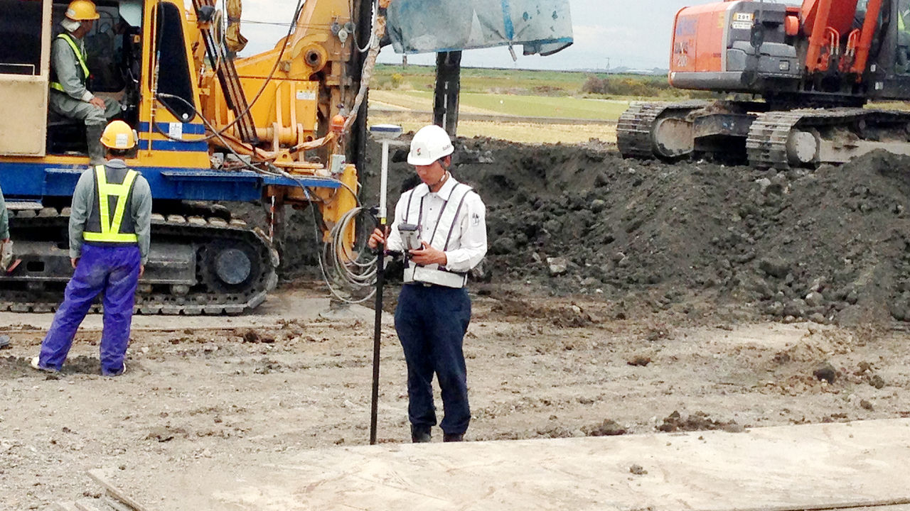
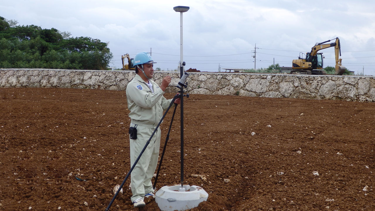
Saikai Kensetsu Co., Ltd. is a general construction company based in Nagasaki that is often contracted directly by the Japanese Ministry of Land, Infrastructure, Transport and Tourism, and has scored 80 points or higher in Japan’s system of evaluating construction performance. In a recent ground improvement project, the company used the GSX2, which is a GNSS receiver designed for civil engineering surveying, and the GNSS-enabled SDR8 Civil Master, an electronic field notes program. As an early adopter and frequent user of one man surveying through automatic-tracking total stations, the company has a noteworthy story behind its decision to use a GNSS system.
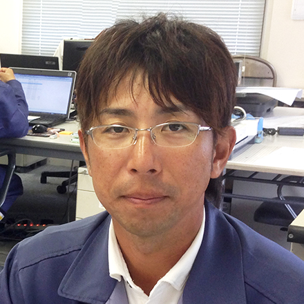
Junji Kusumoto is a section chief’s assistant in the Civil Engineering Construction Department at Saikai-Kensetsu’s Sasebo branch, and he shared the story behind the introduction of GNSS technology. “We were definitely going to use one man surveying at this site in pursuit of efficiency,” Kusumoto said. “Then, we were introduced to the GSX2 GNSS one man surveying system. Because it was demonstrated on the actual site for us, we were able to confirm that the combination of GPS and GLONASS offered consistency as well as enough horizontal and vertical precision for earthwork. Another major reason for our decision was the fact that this system is registered in the NETIS database as a ‘measurement and navigation system that uses three-dimensional design data’ (KT-060150-V).”
Sight Line Work Eliminated, Pile Driving Speed Increased 50%
“We completed the surveying at this site (for 500 piles) 50% faster through one man surveying made possible by the automatic-tracking total station,” Kusumoto said. “The biggest difference was the fact that we did not need to clear sight lines. With total stations, sometimes we had to interrupt our work to let heavy machinery and people pass through. We don’t need to do that with the GSX2; in fact, sometimes the heavy machinery waits for us! I believe this system improves the efficiency of our surveying work as well as that of the site as a whole.” The GSX2 quickly proved to be useful throughout Saikai-Kensetsu. Koichiro Ideguchi, a section chief in the Construction Department at company headquarters, also shared his thoughts during the interview. “I was allowed to use the equipment when it was free. There were no known points near my location, so I used a virtual reference station to determine an area. The system was extremely helpful, and enabled me to do efficient, precise work.”
Widespread Applications for RTK-GNSS One Man Surveying System
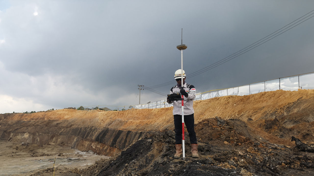
The performance of the GSX2 one man surveying system in this ground improvement project has convinced Saikai-Kensetsu to continue to use the system. According to Kusumoto and Ideguchi, the company intends to use the system in future earthwork as well as river training, which sometimes requires depth sounding that they expect the GSX2 to be able to handle. The company hopes to further improve efficiency through one man surveying by strategically combining the use of total stations and the GSX2.

Interviewee
COMPANY: Saikai Kensetsu Co., Ltd.
SOKKIA PRODUCT: GNSS Receiver GSX2
Related Item
News
Events
- Start Date
- 2024/07/02
- End Date
- 2024/07/05
- Event Details
-
Roadshow
Dates: 2 July 2024, 10:00 to 16:45 in Malaysia Time
Venue: Sofitel Kuala Lumpur DamansaraBootcamp
Dates: 3 to 5 July 2024Organizer: Topcon Positioning Asia (Malaysia) Sdn. Bhd., 3Dtech Solutions Sdn. Bhd.
- URL
- /content/topcon-pa/jp/en/events/2024/topcon-autodesk_roadshow-bootcamp_malaysia.html
- Target
- _self
- Start Date
- 2022/10/26
- End Date
- 2022/11/29
- Event Details
-
Venue : Webinars
Hosted by : Topcon / Autodesk
- URL
- /content/topcon-pa/jp/en/events/2022/10309.html
- Target
- _self


