


- Start Date
- 2026/02/14
- End Date
- 2026/02/16
- Event Name
-
KRISHI DARSHAN EXPO 2026
- Event Details
-
Visit the Topcon Booth to Discover Cutting-Edge Precision Agriculture Technology!
Dates: 14- 16 February'2026, 10:00 A.M. to 6:00 P.M.
Venue: Northern Region Farm Machinery Training & Testing Institute, Hisar, Haryana, India - URL
- https://www.krishidarshanexpo.com/
- External URL
- Target
- _blank
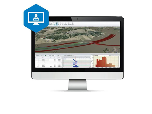
MAGNET Office
MAGNET Office for survey and construction
Set up your jobsite files for layout and machine control success
CAD and design software for contractors and surveyors with Topcon gear
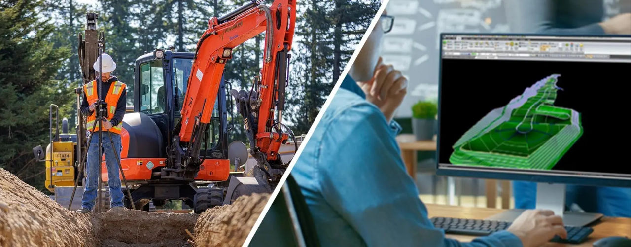
Constructible digital terrain models

MAGNET Office’s base software lets you combine plans and survey data to build 3D digital-terrain models for site survey and machine control. A common file can be directly shared between machine operators, GPS instruments, grade checkers and project stakeholders for a better-connected project team.
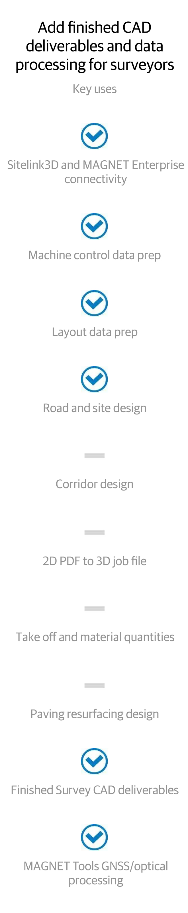
Advanced construction design tools with Site Prep module

The Site Prep module offers design tools for roads, trenches, corridors, intersections, material takeoff, and road resurfacing. The module also helps calculate and visualize material allocations. Tight integrations with 3D-MC, Pocket3D, and Sitelink3D enable machine control data management, grade checking, SmoothRideTM, and other Topcon construction workflows.
Survey module includes MAGNET Tools

The Survey module includes tool sets for surveying and drafting property plots, subdivision designs, and land-development projects. MAGNET Tools allows post-processing and adjusting field-survey data collection from total stations, GNSS equipment, and digital levels. MAGNET Tools also lets you visualize field work in Google Earth™ and directly export the data to popular 3D CAD software.
MAGNET Office functionality
MAGNET Office

+Site Prep Module

+Survey Module
Collaborate, create and share from the field

MAGNET Field is the perfect partner for MAGNET Office software. Use MAGNET Field for controlling robotic total stations and GPS receivers to collect data points, stake out road and site projects, lay out sites, or perform land surveys. All of this functionality is at the fingertips of the user via a rugged tablet and shareable via MAGNET Enterprise.
Brochure
Related Item
Related Information
News
What's New
Events
- Start Date
- 2025/12/09
- End Date
- 2025/12/13
- Event Name
-
EXCON 2025
- Event Details
-
Please visit our booth to Experience the Topcon ICT Solutions in Construction!
Booth No: C-50
Hall No: 05
Dates: 09- 13 December'2025, 10:00 a.m. to 6:00 p.m.
Venue: Bangalore International Exhibition Centre, Karnataka, India - URL
- https://www.excon.in
- External URL
- Target
- _blank
- Start Date
- 2025/12/02
- End Date
- 2025/12/04
- Event Name
-
GeoSmart Expo 2025
- Event Details
-
Visit us at Booth No. B-24
Dates: 02 - 04 December' 2025
Venue: Bharat Mandapam, Delhi, India - URL
- https://geospatialworld.net
- External URL
- Target
- _blank